
Met Office Issues Yellow Warnings as Thunderstorms Threaten Flash Flooding Across UK
| Warnings active | Met Office yellow thunderstorm warnings in place for Wednesday and Thursday across England and Wales |
|---|---|
| Expected rainfall | Localized totals of 20-30mm per hour on Wednesday and up to 50mm over short periods; up to 75mm possible on eastern hills Thursday |
| Weather hazards | Risk of flash flooding, severe driving conditions, road closures, lightning, and 1-2cm hailstones |
| Dry spell context | Hardened soil from weeks of dry weather increases surface water flooding risks |
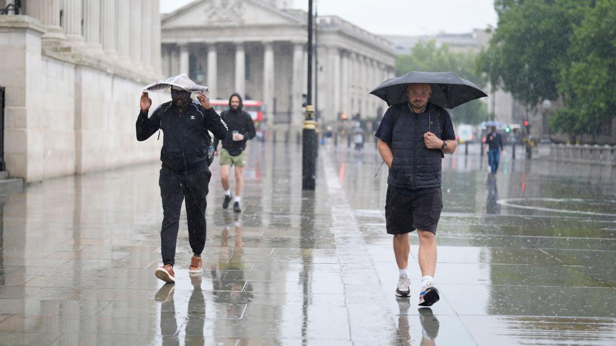
The UK Met Office has issued yellow weather warnings for heavy thunderstorms across broad sections of England and Wales on Wednesday and Thursday, raising concerns over flash flooding, travel disruption, and severe weather hazards such as lightning and hail.
The initial yellow warning took effect on Wednesday at 03:00 BST and remains active until 22:00 BST. It encompasses wide swathes of England—including the Midlands as well as northern, eastern, and southern districts—along with the far eastern border of Wales. Weather forecasters indicate that although the showers will be localized and sporadic, some areas could record between 20 and 30 millimeters of rainfall in just one hour. In certain places, totals could accumulate to 40 or 50 millimeters over several hours.
A second yellow weather warning has been set for Thursday, valid from 06:00 BST until 22:00 BST, mainly targeting England and Wales once again. Downpours on Thursday are expected to bring widespread totals of 20 to 30 millimeters within a three-hour window, while isolated spots could receive up to 50 millimeters. Forecasters noted a small risk that eastern-facing hills exposed to easterly winds could gather up to 75 millimeters of rain over 12 hours, creating a heightened flood threat. Thunderstorms on Thursday may also bring hailstones ranging from 1 to 2 centimeters in size.
The expected heavy rainfall carries a significant threat of flash flooding across the affected regions. A prolonged dry spell has left the ground dry and hard, making it difficult for rainwater to soak in quickly and causing surface water to collect rapidly. Authorities anticipate hazardous driving conditions, potential road closures, and disruptions to public transport networks. Northern Ireland and parts of Scotland are forecast to encounter less severe conditions, with lighter, scattered showers that are expected to weaken as they move northward, alongside periods of sunshine.
The unsettled weather is driven by an atmospheric setup where warm, moisture-laden air across the UK interacts with a cooler air mass pushing in from the west in the upper atmosphere. Meteorologists noted that computer forecasting systems frequently struggle to pinpoint the precise locations and timing of individual storm cells due to their scattered nature, leaving open the possibility that some areas within the warning boundaries may remain largely dry while neighboring locations suffer severe downpours.
Background
Recent weeks have been notably dry across parts of the United Kingdom, leaving moisture levels low in several regions. Locations such as Brize Norton in Oxfordshire recorded just 0.4 millimeters of rainfall in August prior to the storms, representing less than one percent of its average monthly rainfall. Similarly, Kew Gardens in London registered no rainfall throughout July and received only 1.8 millimeters in early August.


Leave a Reply